


On August 3, the environmental advocacy group Friends of the Presumpscot River sponsored another of its river tours. This event is intended to highlight the many significant historical, cultural, and ecological sites that can be found along the river, which extends from Sebago Lake to Casco Bay. For the local Wabanaki people who lived here until colonial times, the river was an important transportation corridor, and a place of habitation and food production.
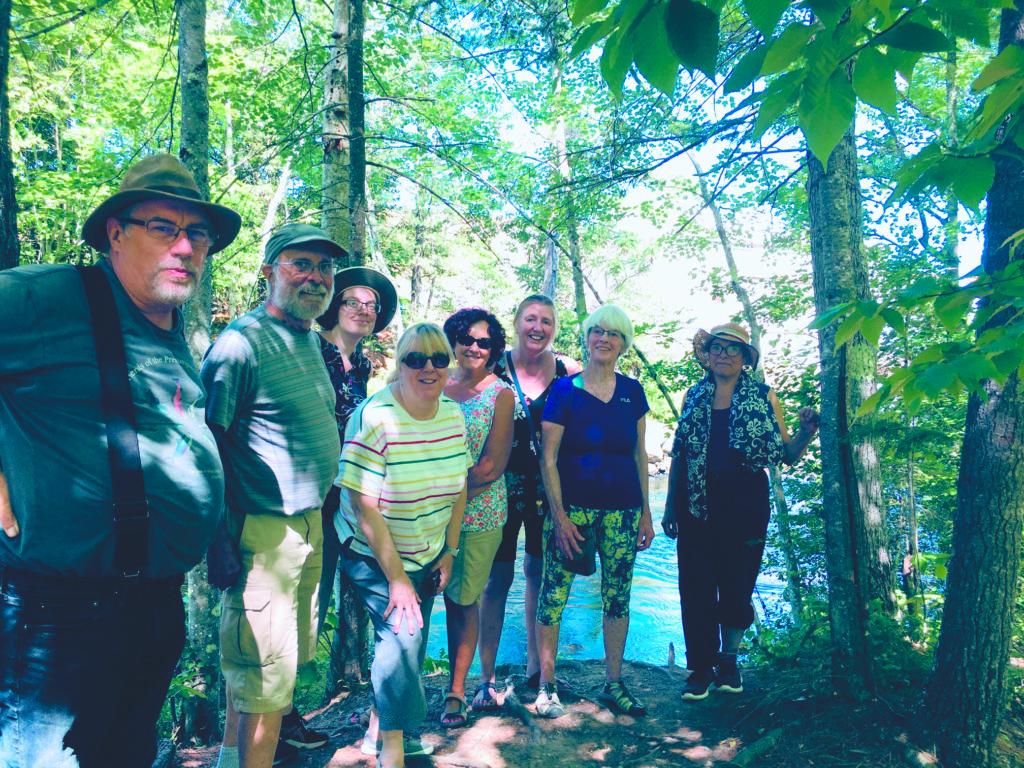 Photo credit: Kathy Carr
Since the mid-1700s, the Presumpscot has been a significant source of water power for various industries, ever since British colonists arrived and began building dams along the river. More recently, area residents have been appreciating the river as a place of increased environmental quality, both for human recreational uses and as a wildlife habitat.
The tour was led by USM art professor Michael Shaughnessy, president of Friends of the Presumpscot River. Ten local residents took part, including staff from the Westbrook School Department. Participants stopped by places where remnants of the Cumberland and Oxford Canal could be seen, as well as several historical manufacturing sites which were developed because of their abundant water power.
We started the downstream portion of the driving tour at the Eel Weir area, located where Route 35 crosses the old canal remnant and the original riverbed, near the Standish-Windham town line. The next tour stop was at a place on the Middle Jam Road, along the Standish-Gorham town line, from which we could observe remnants of the old canal where it starts flowing alongside the original riverbed. This location is near Wescott Falls and the Eel Weir power dam, built in 1903.
Proceeding south, we drove past North Gorham Pond. This is a large impoundment created by the North Gorham Dam, which is still an important hydro station. In the past, the North Gorham area was the site of thriving mills originally built to operate directly from water power.
The next stop on the tour was the Dundee Dam, located at the end of Dundee Road in Gorham. Built in 1913, the dam is the largest on the entire river. Just downstream, Sappi Paper has built a footbridge, some pathways, and a gravel parking lot. These facilities were developed to encourage fly-fishing and similar pursuits, but the area is open to all who simply wish to enjoy the beauty of the river.
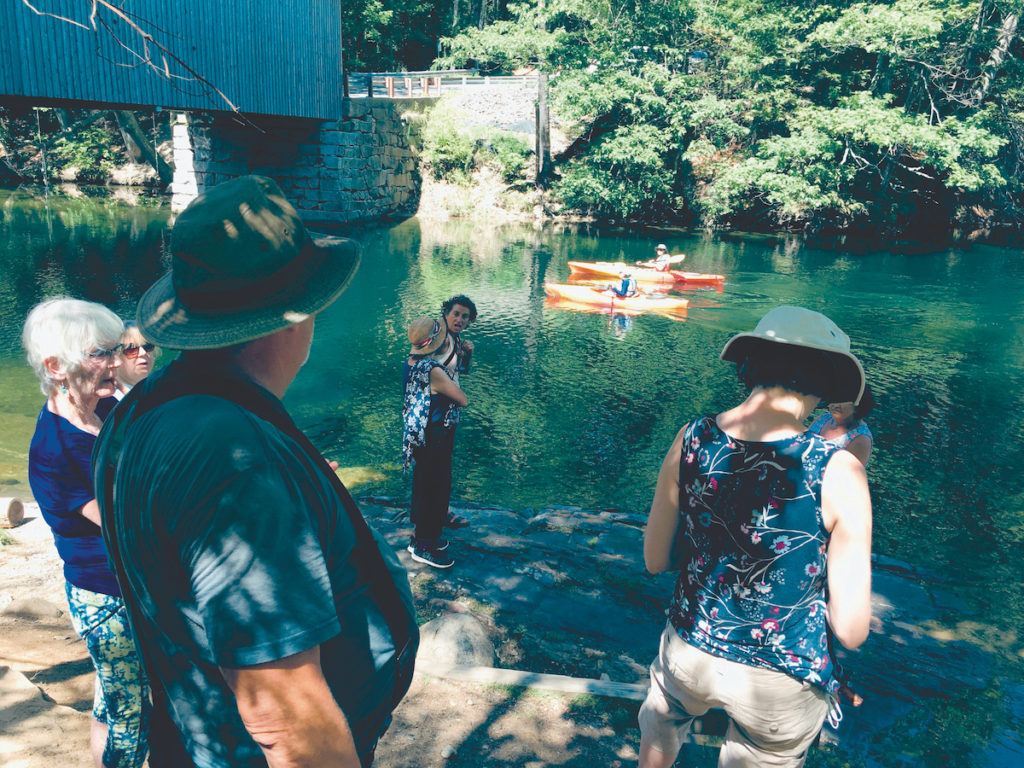
After the Dundee area, our group drove through the historic covered bridge, known as Babb’s Bridge. It is located where Hurricane Road crosses into Windham and becomes Covered Bridge Road. The current bridge is a replica, built after the original bridge burned down in 1972. This location is still popular for swimming and kayaking.
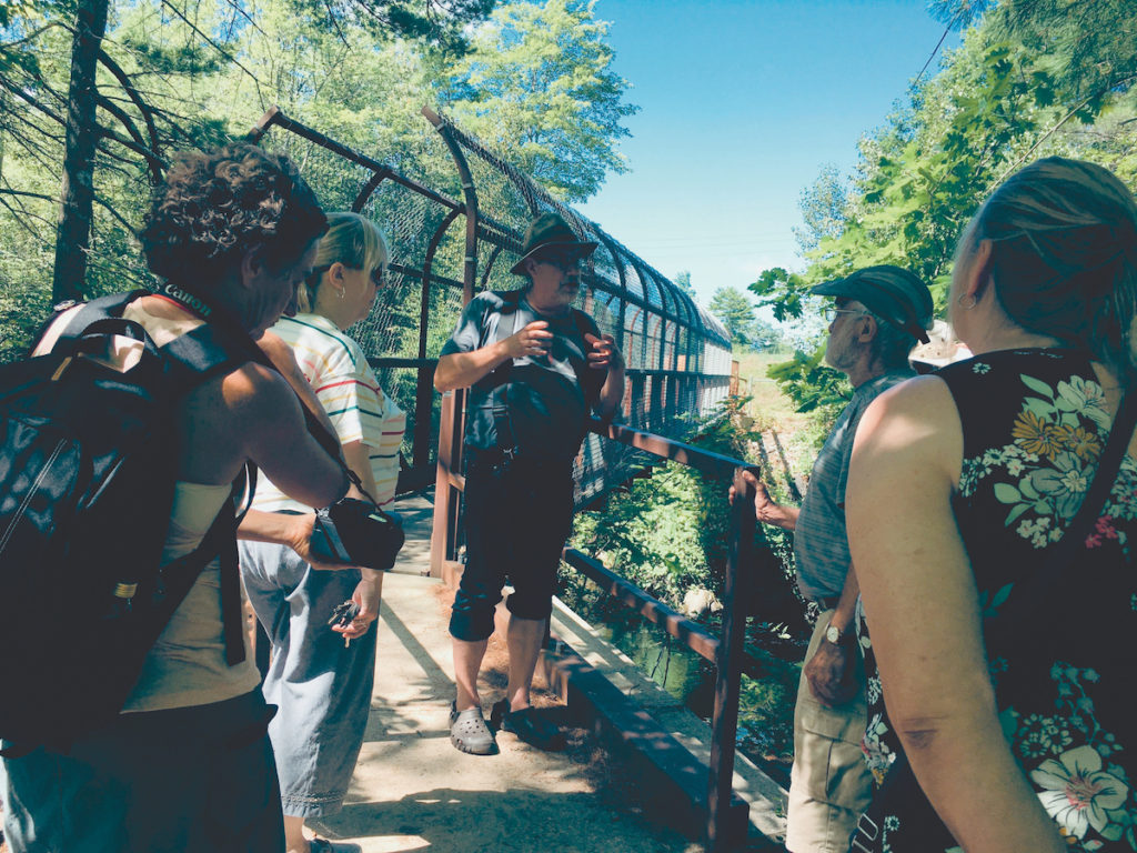
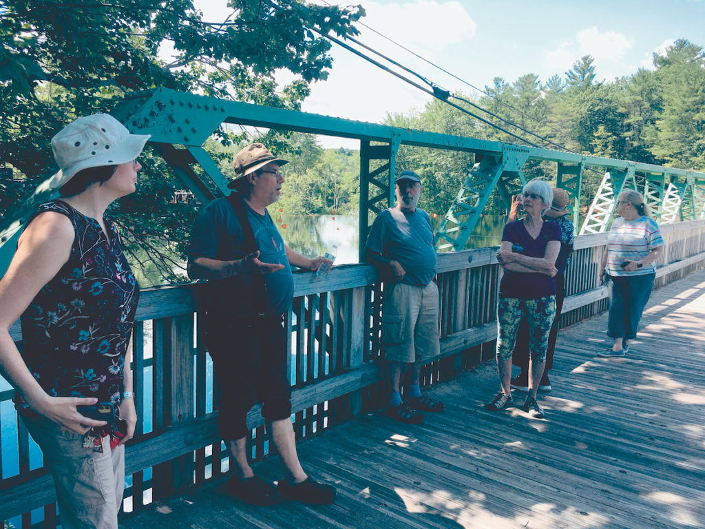
Our next downstream stop was the site of the Gambo Gunpowder Mills, also known as the Oriental Gunpowder Mills. At the end of Windham’s Newhall Road, we walked across the footbridge, which crosses the Presumpscot above Gambo Dam. This is now a very scenic, peaceful spot, but until it closed in 1905, the gunpowder mill near this location was the site of many fatal explosions. During the Civil War years, it was the second-largest source of gunpowder for the Union Army. There are several interesting paths with views of the river and the remaining stone structures, as well as informative historical plaques.
We then drove through the Little Falls-South Windham area, which was once an important industrial area. As we crossed the Rt. 202 bridge back into Gorham, we saw the location of several abandoned industrial facilities to our left. We soon arrived in the nearby Mallison Falls area, just downstream. Like Little Falls, it was previously more industrial, compared to the quiet residential area of today. At the Mallison St. bridge over the river, there are still several brick mill buildings visible across the river on the Windham side, with the largest building now used mostly as a storage facility.
A little more than a hundred yards below the Mallison Falls dam, there is another hydroelectric facility owned by Sappi Paper. Just downstream from that, Sappi has installed a boat launch for kayakers and canoeists and a parking lot. This is now a place where river enthusiasts can launch their kayaks and canoes, and paddle down the river almost all the way to downtown Westbrook. Mallison Falls is currently the farthest upstream location that ocean-run fish can access from Casco Bay.
We concluded the Gorham portion of the tour at this point but drove on to downtown Westbrook to see the major improvements that have been made in the Saccarappa Falls area. Through the advocacy of the Friends of the Presumpscot River, most of the former dam structures were removed in 2019 and 2020, so that ocean-run fish can now freely swim upstream to spawn. The group is now advocating for the designation of the river’s five-mile section between Mallison Falls and Saccarappa Falls as a Scenic and Natural River Corridor due its natural, undeveloped state and the qualities of tranquility and wildness that it offers.
On September 17, the Friends of the Presumpscot River will hold its annual Three Sisters Dinner and awards event at the Historic Conant Homestead in Westbrook. More information about the group and its activities is available at presumpscotriver.org.